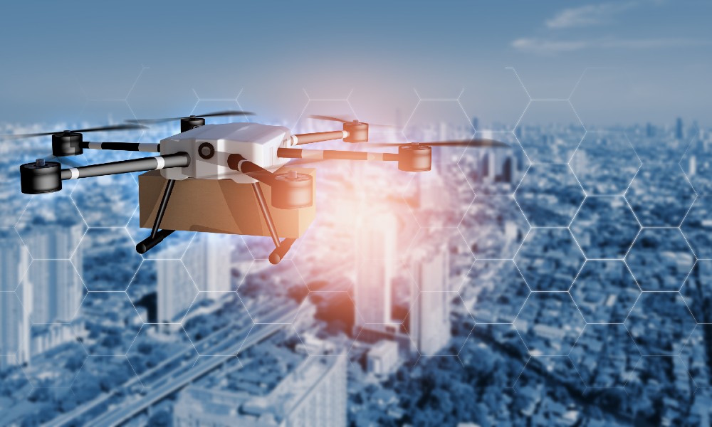
Drones are becoming commonplace as more industries begin to understand the value that they can drive. Not only can they save companies money but drones also enable improved safety and enhance the efficiency of their operations. As the drone industry has grown over the last few years and the technology has evolved, the use of drones for work has multiplied, as have the number of use cases.
Drones are a powerful tool for remote data collection, and in reality, they can collect any kind of data that we perceive as long as there is a drone-compatible sensor that exists for the collection of that type of data. Current industries include Agriculture, Chemicals, Environmental conservation, Construction, Mining, Delivery/Transportation, Oil & Gas, and Public Safety, to name a few.
The primary types of data that is currently being collected by drones include:
- Visual data - The most common types of data. A drone is used to fly over an area or an object of interest to see what otherwise might not be visible and collect a record of what the camera sees.
- Thermal data/Infrared - Sensors enable drone operators to see temperature data, allowing them to collect radiometric data across vast areas and difficult-to-reach places. Ideal for firefighters to identify hotspots to tackle in a fire.
- Multispectral data - This is data collected by sensors that measure reflected energy within specific electromagnetic spectrum bands.
- Hyperspectral data - Sensors measure energy in a more focused way with multiple bands instead of a singular band used in measuring Multispectral data.
- LiDAR data - Sensors are used for effective mapping in low-light conditions. For example, drones use ultraviolet light to image objects, requiring no additional lighting. A LiDAR sensor illuminates a target with a laser and then measures the reflected light to create data points that can be used to map the area, i.e., for creating 3D maps of a site. As LiDAR can penetrate through vegetation, it can be used for archeological excavations.
Earlier this summer, Microdrones, a global aerial mapping technology company that delivers complete and reliable mapping systems specifically developed for the surveying, mining, construction, oil & gas, and precision agriculture industries, announced that together with GE they had entered into a worldwide licensing agreement to release the GE industrial drone line worldwide.
This week, Microdrones announced a special presentation on the newest in the line of GE industrial drones, the mdLiDAR1000LR. This latest integrated drone LiDAR system allows experts to gather data over an extended range with the ability to cover more ground per fight, increase efficiency, and enable operators to create and provide digital twins of their assets and project sites. In addition, the mdLiDAR100LR can support the following applications:
- Corridor mapping - Assessment of the suitability of an area for construction of linear structures or locations, such as railways, roads, and power lines
- Mining (volume calculation) - Determines enhanced estimates for necessary machinery, contractors, and general stockpile management
- Construction site monitoring - Utilized for inspection purposes, drones are equipped with a variety of sensors that can capture a large amount of aerial data in a limited time
- Environmental changes (time series) - Surveillance and mapping of a variety of internal factors, including erosion, invasive species growth, and endangered species populations, can aid in reaching reasoned decisions
- Forestry - Used to gather information and monitor damage caused by fires, construct 3-D images, or monitor contracted works
- Contour mapping - Creating a continuous surface via differences in elevation is easily done as numerical data on latitude, longitude, and altitude is automatically captured and easily leveraged
- Archaeology and cultural heritage - Collection of metric data and illustrative photography for a plethora of historical monuments, archaeological sites, and landscapes
- Highway construction - Heightened surveillance allows for increasingly precise, time-sensitive measurements
- Precision Agriculture - Revolutionizing agriculture, farmers can benefit from increased accuracy in monitoring and mapping, reducing costs, and accentuating greater profitability
"The mdLiDAR1000LR increases the distance from which details can be captured," explains Frank Darmayan, the Chief Operations Officer for Microdrones. "It can capture powerline details at 75m for distribution and 90m for transmission, effectively doubling the range of our mdLiDAR1000HR system. Flying at 70m from the powerlines, at 8m/s allows for efficient location of the powerlines with roughly 10 points per linear meter and capturing great detail of the towers."
The presentation will be conducted by Robert Chrismon, Microdrones Marketing Manager, and the voice of the customer. Robert is a Professional Land Surveyor who brings extensive field experience using drones for surveying work, having previously been a customer of Microdrones.
"With the release of the mdLiDAR1000HR earlier this year, the announcement of the GE industrial drone line and the mdLiDAR1000LR, it's been an exciting 2021," Chrismon said. "One of the things that really jumped out at me with the mdLiDAR1000LR is the altitudes we are able to fly at and the coverage that we have with the field of view of 90 degrees for LIDAR collection; we're going to be able to cover a lot of ground."
Causing a serious impact for specialists across various professions, Drone LiDAR has dramatically improved data collection efficiency and geospatial deliverables generation. The presentation will account for this while also explaining the extensive pricing options made available by Microdrones to provide substantial flexibility for drone surveying customers to access the company's mdInfinity software data processing modules.
Included in the Microdrones as a Service (mdaaS), the new offerings were made available in September as part of a variety of price inclusive packages allowing professionals the flexibility to select data processing options in a manner that best suits them. Software-orientated changes encapsulate the majority of price updates, the first of which is the new choice to subscribe for data processing and analytics monthly through the "Explorer" package. In addition, Explorer joins the mdInfinity options to pay per project or to choose unlimited use. The second update creates new basic and pro user levels for LiDAR data processing, adding another layer of flexibility. Photogrammetry users also benefit from an Explorer Basic Mapper plan to help manage their data processing needs.
"There's something for everyone," said Chuck Dorgan, US Director of Sales at Microdrones. "We've seen that progression with some customers that start out at pay-per-project and then switch over to unlimited," Dorgan said. "Our team can show you how to estimate jobs, and you can get a feel for how many tokens it would take you to process some of your average work, and then get an idea of whether to pay per project or if you want to use a monthly plan. We provide as much as we can to help."
As drone technology continues to advance, we will continue to see new scenarios emerge. In turn, we will see new sensors being developed for new types of data collection - to save money, improve safety, increase accuracy, and further improve operational efficiency. You can join Microdrones to learn more about the new mdLiDAR1000LR and how data can be captured within a longer range by registering for this presentation here.
Arti Loftus is an experienced Information Technology specialist with a demonstrated history of working in the research, writing, and editing industry with many published articles under her belt.Edited by
Luke Bellos


