Southern California recently experienced a 55-hour closure of the 91 Freeway, resulting in a 6-mile backup that intersected State Route 71 and Interstate 15. The closure was called the “Coronageddon” (it ran through the heart of Corona). Just a few years ago a big closure of Highway 405, dubbed “Carmageddon,” resulted in a traffic jam that reached immense proportions and made national news.
Today, in fact, on the east coast, the Tappan Zee Bridge was closed as a result of a crane collapse, which will cause traffic delays for hours in both directions.
These are extreme instances of massive traffic congestion, but more commonly we all deal with daily traffic jams as people get to work and school, the lunch rush hour, and the all-too-familiar and stressful evening commute. Traffic patterns are studied by cities, but most use a low tech approach. They assign people to count vehicles as they pass through intersections at peak hours. This data is collected over a period of time, and city executives can then make decisions on whether or not to expand a road or add a traffic light or stop sign.
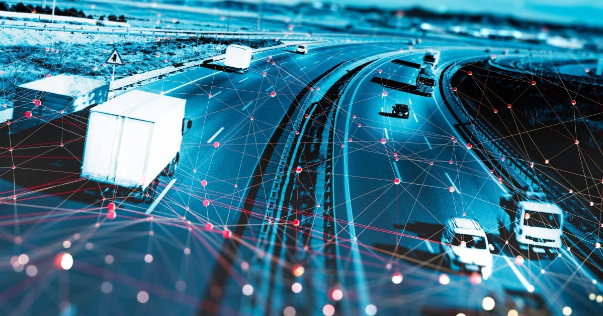
High-tech techniques leveraging the Internet of Things (IoT) can be applied to better plan and reduce traffic congestion. For example, existing technologies can detect smartphone Bluetooth radios (for short range) and WiFi radios (for longer ranges) from vehicles as they pass through points where sensor detectors record the cars’ presence. By placing sensor detectors at key locations along roadways, transportation managers can identify the general path of vehicles as they pass through these points. Think of the possibilities for understanding common traffic patterns of thousands of vehicles in a crowded city. Having much greater transparency into traffic flow and congestion points could help city planners identify opportunities to smooth traffic patterns and more accurately plan infrastructure to support their cities’ growing needs.
So, how can cities put this technology into action? One solution is to use Wifi/Bluetooth/ZigBee scanners in the streets, typically attached to street light poles, to capture the different types of beacons that are coming from vehicles and commuter smart phones, respectively. Vehicles have built-in electronics that send out signals that can be captured. The number of scanners varies with the amount of traffic that flows through the area, the distances between the vehicles, and the level of reflection created by nearby signs, billboards or any obstructions. These scanners need to be placed in a manner that increases the chance of detection. Of course, there are security and privacy issues to address, as well, but the industry is making good headway, such as with the IEEE P2413 framework and a host of others. Hardware and protocols will be further optimized as IoT technologies mature.
Once the data is captured, raw information contained in the Bluetooth logs and Wi-Fi data logs can be aggregated to provide valuable insights into traffic patterns. For example, the unique Machine Address (MAC) given off by each beacon helps distinguish one commuter/vehicle from another. The Received Signal Strength Indicator (RSSI) is used to calculate the distance between vehicles, and the information from two scans of a given MAC determines the direction vector. By synchronizing the data time stamps to Coordinated Universal Time (UTC) and collating this data into a time series database for correlation analysis, officials can start to identify traffic patterns.
Using Swarm Intelligence (SI) algorithms, such as Particle Swarm Optimization (PSO), city planners can also create simulations to understand potential congestion challenges based on how vehicles and pedestrians navigate public spaces. PSO is a good algorithm to apply to schools, for example, as it helps them understand the behavior of each student (particle) or group of students (swarm) and how they navigate out of schools and the paths they take when walking, biking, or being picked up.
Simulations using real data collected through this mechanism can help city planners determine potential traffic challenges at a highly-granular level—by street, intersection, freeway ramp, school area, etc.—to significantly reduce error rates in planning and address current congestion problems much more quickly.
About the Author: Kuruvilla Mathew is Chief Innovation Officer at Ness Digital Engineering. He is responsible for expanding the growing portfolio of digital transformation services at Ness by cultivating innovative technologies, solutions and methods.
Edited by
Ken Briodagh